Nepean and Centrepointe Real Estate Guide
Nepean is the established west-end suburb between Westboro and Barrhaven. This guide covers the older parts of the former City of Nepean north of Barrhaven, from Centrepointe, built from 1984 around Ben Franklin Place and Algonquin College, to Bells Corners, Qualicum, Craig Henry and the Merivale Road area. Barrhaven was also part of Nepean and has its own guide.
Quick facts
- Location: west Ottawa, south of the Queensway, from Bells Corners east to the Rideau River, with Barrhaven to the south.
- History: Nepean Township was established in 1792 and named after Sir Evan Nepean, a British Under-Secretary of State. It became a city in 1978 and joined the City of Ottawa in 2001.
- Population: the former City of Nepean had 186,593 residents in the 2021 Census, including Barrhaven.
- City wards covered here: College (Ward 8), named for Algonquin College, and Knoxdale-Merivale (Ward 9).
Centrepointe
- Where it is: College Ward, informally bounded by Baseline Road to the north, Woodroffe Avenue to the east, the CN rail line to the south and the Briargreen subdivision to the west. It had 7,245 residents in the 2016 Census.
- How it was built: the land was farmland bought by Canada Mortgage and Housing Corporation, which later sold most of it to Minto. Building started in 1984, and Centrepointe was planned as Nepean's "downtown", with shops, offices and a civic square.
- Homes: about 1,000 detached houses, with the rest mostly townhomes and terrace homes. A former snow dump next to Centrepointe Park became about 260 townhouses, terrace homes and low-rise apartments, finished in early 2011.
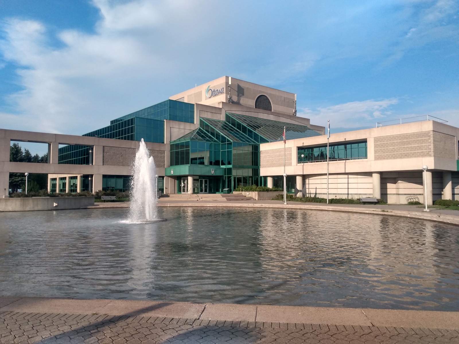
- Ben Franklin Place: named after a former mayor of Nepean, it houses the Centrepointe branch of the Ottawa Public Library, Centrepointe Theatre and the former Nepean City Hall, now City of Ottawa offices. The City of Ottawa Archives is at Tallwood Drive and Woodroffe Avenue.
- New towers: as of 2024, a two-tower Richcraft condominium project (22 and 24 storeys) at 19 Centrepointe Drive and a 15-storey rental building at 2140 Baseline Road were well underway.
- Schools: many children attend Briargreen, Manordale and Knoxdale (French immersion) elementary schools and then Sir Robert Borden High School.
Other Nepean neighbourhoods
- Bells Corners: along Robertson Road inside the western Greenbelt, with 9,385 residents in 2021. It is named after Hugh Bell, who ran a tavern there from 1834. Bell High School is here.
- Qualicum and Graham Park: between the Queensway and Baseline Road, with many 1960s executive homes on large lots, including custom houses by Bill Teron on Qualicum Street. Queensway Carleton Hospital, opened in 1976, is nearby.
- Leslie Park: south of Baseline Road and west of Greenbank Road, built from 1963 into the 1970s and mid-1980s, with some of the area's oldest trees.
- Craig Henry: in Knoxdale-Merivale Ward, developed from 1971 between Woodroffe Avenue and Greenbank Road. On September 21, 2018 an EF-2 tornado damaged many homes in Craig Henry and Arlington Woods.
- Trend-Arlington: west of Greenbank Road, developed by Campeau from the 1960s to the 1980s, and home to Bruce Pit, a former quarry now used as a dog park with wooded trails.
- Merivale Road: Nepean's main retail strip, with smaller shops and big-box stores.
Getting around
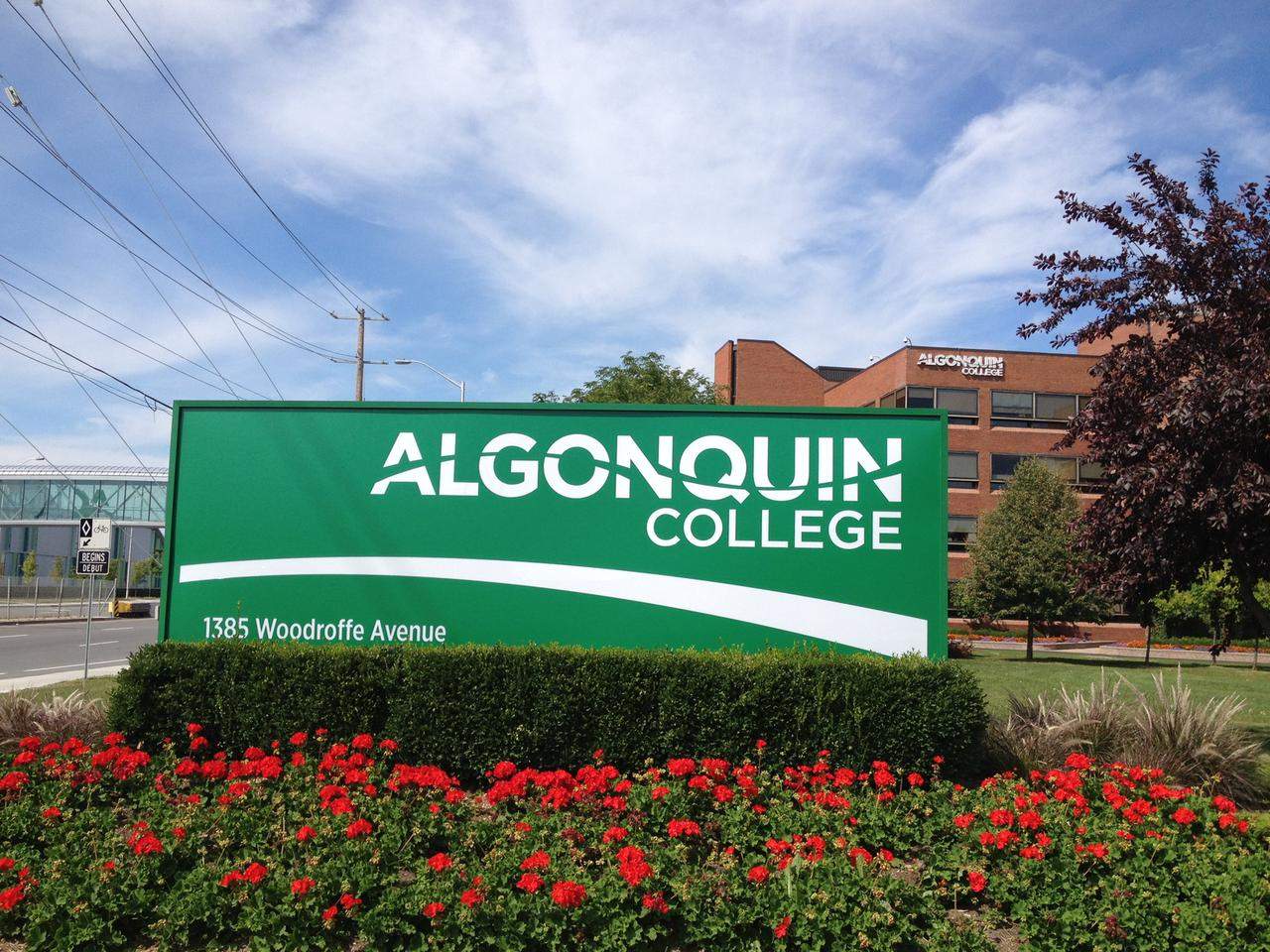
- Baseline Station, across from Algonquin College's main campus at Woodroffe Avenue and Baseline Road, is one of the busiest Transitway stations and has a small Park & Ride.
- O-Train Line 1 west extension (under construction): the station will become Algonquin Station, the western end of Line 1. The City expected the extension to open in 2027, but the Ottawa Citizen reported in July 2026 that flood damage from the Canada Day storm raised questions about the summer 2027 opening, with an updated schedule expected in early 2027.
- Highway 416 runs along the west side of Knoxdale-Merivale Ward, and the Queensway is just north.
Housing
- Across College and Knoxdale-Merivale wards (2021 Census), 44.2% of homes were single-detached, 23.8% row houses and 7.2% semi-detached, and 14.8% were in apartment buildings of five or more storeys.
- Most homes date from the suburb's main growth years: 51.0% were built between 1961 and 1980 and 25.0% between 1981 and 2000, and only 8.6% in 2001 or later. 63.6% of households owned their home.
Growing up in Centrepointe: Kevin's take
I grew up in Centrepointe, and it's a family neighbourhood through and through. It's a tight community, you're close to transit, and some of my best memories are walking through the park to the library and watching the ducks. For a while, once my generation grew up and moved out, the neighbourhood got a bit quieter. Lately I'm seeing a lot more young families moving in, which is great to see. If you're raising a family and want a settled, friendly neighbourhood with an easy commute, Centrepointe is worth a serious look.
Frequently asked questions
What schools serve Centrepointe and Nepean?
Many Centrepointe children attend Briargreen, Manordale and Knoxdale (French immersion) public elementary schools and then Sir Robert Borden High School (OCDSB), which teaches grades 7 to 12. Other OCDSB high schools in the area are Bell High School in Bells Corners, which also teaches grades 7 to 12, and Merivale High School, known for its International Baccalaureate program. Leslie Park Public School is now Mamawi Public School, and St. John the Apostle Catholic School (OCSB) is also in Leslie Park. Catholic and French-language high schools serve wider areas, so confirm your address with each board's school locator.
Who lives in Nepean?
College and Knoxdale-Merivale wards had about 92,300 residents in the 2021 Census. 14.5% were under 15 and 21.0% were 65 or older. The average household had 2.5 people, 27.0% of households were one person living alone and 24.1% were couples with children, and 63.6% owned their home. The median age was 41.2 in College Ward and 40.8 in Knoxdale-Merivale, and the median total household income in 2020 was $95,000 and $97,000.
What is Centrepointe known for?
Centrepointe was built from 1984 as Nepean's planned "downtown". Ben Franklin Place is its centre, with Centrepointe Theatre, the Centrepointe library branch and the former Nepean City Hall. Algonquin College's main campus and Baseline Station are across Woodroffe Avenue, and the City of Ottawa Archives is at Tallwood Drive and Woodroffe.
What types of homes are in Centrepointe?
Centrepointe has about 1,000 detached houses, and most of the rest are townhomes and terrace homes. Newer additions include about 260 townhouses, terrace homes and low-rise apartments finished in 2011, and, as of 2024, two Richcraft condominium towers (22 and 24 storeys) at 19 Centrepointe Drive and a 15-storey rental building at 2140 Baseline Road.
How old are the homes in Nepean?
Mostly built between the 1960s and the 1990s. Across College and Knoxdale-Merivale wards in the 2021 Census, 51.0% of homes were built between 1961 and 1980, 25.0% between 1981 and 2000 and only 8.6% in 2001 or later. 44.2% were single-detached houses, 23.8% row houses and 14.8% apartments in buildings of five or more storeys.
When will the O-Train reach Algonquin College?
Baseline Station will become Algonquin Station, the western end of O-Train Line 1, when the Stage 2 west extension opens. The extension was expected to open in summer 2027, but the Ottawa Citizen reported in July 2026 that Canada Day storm flooding damaged parts of the line and raised questions about that date, with an updated schedule expected in early 2027.
How long is the commute from Nepean?
In the 2021 Census, 73.0% of commuters in College and Knoxdale-Merivale wards got to work in under 30 minutes. 75.8% drove, 14.9% took transit and 6.5% walked or cycled. That census week was in May 2021, during the pandemic. The Transitway at Baseline Station, the Queensway and Highway 416 are the main routes.
Where do Nepean residents shop?
Merivale Road is Nepean's main retail area, with smaller shops and big-box stores. Centrepointe has small plazas near Ben Franklin Place, and Bells Corners has shops along Robertson Road.
Census figures are for the City of Ottawa ward named, using the City's 2021 Census ward data (current ward boundaries), so they cover a wider area than the neighbourhood itself. Census ward used: College Ward (Ward 8) and Knoxdale-Merivale Ward (Ward 9), combined. Commute shares come from the 2021 Census, which asked about the week of May 2021, during the pandemic; they cover people who commuted to a usual place of work, not drive times.
Nearby neighbourhoods
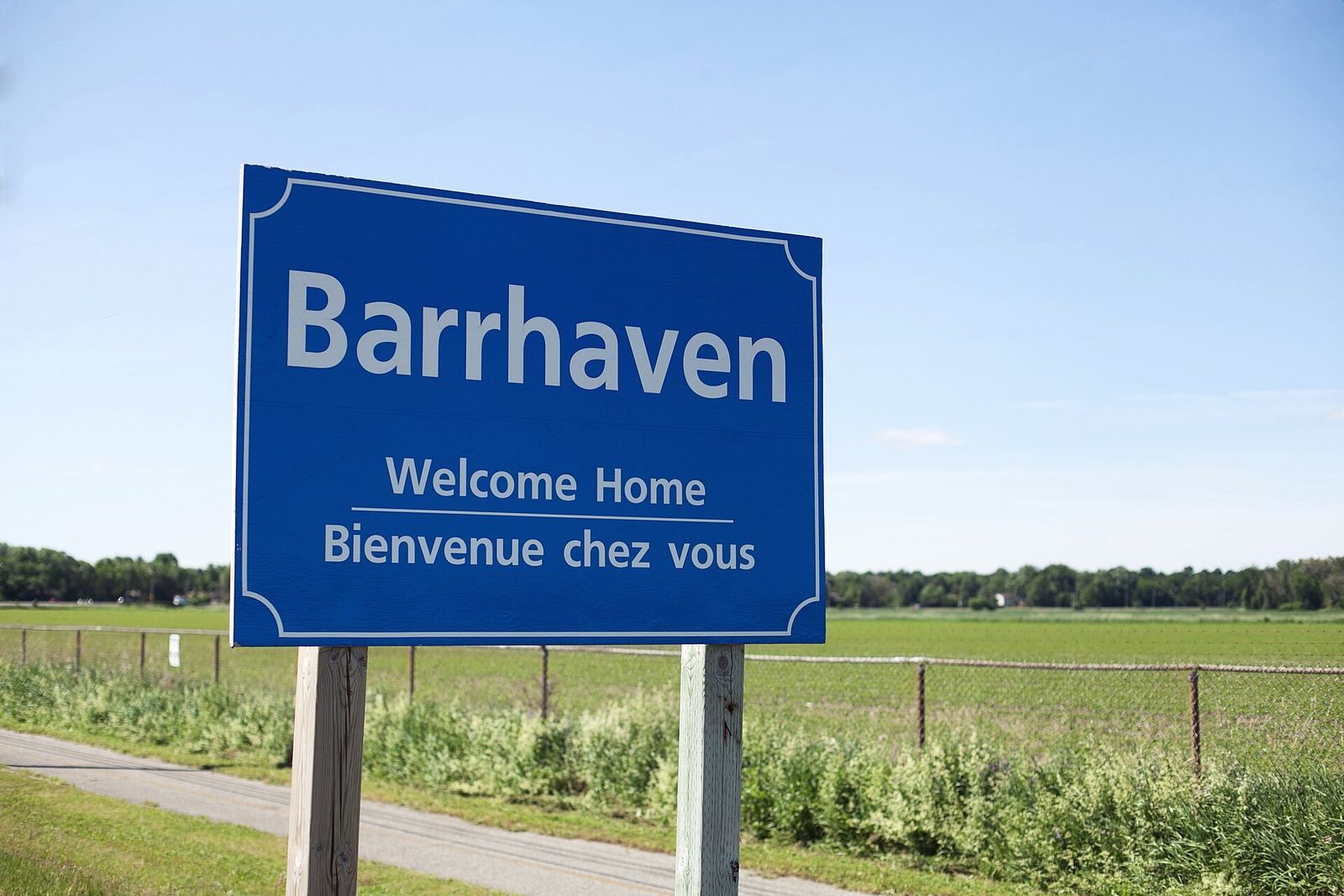 About 17 km southwest of downtownBarrhavenA large family suburb with schools from all four boards and big shopping along Strandherd Drive.Explore Barrhaven →
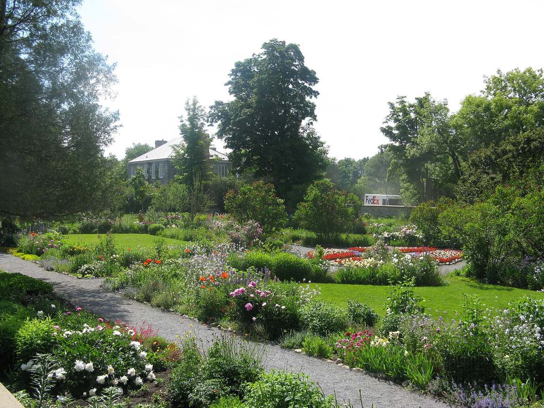 Inner west, on the Ottawa RiverWestboroRichmond Road shops, the Ottawa River and character homes mixed with newer condos.Explore Westboro →
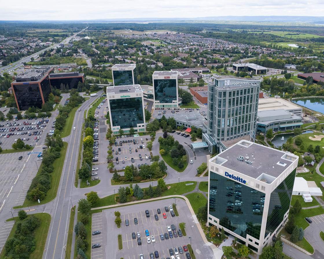 About 22 km west of downtownKanataCanada's largest tech park, plus Kanata Lakes, Beaverbrook and Morgan's Grant.Explore Kanata →
See all Ottawa neighbourhoods on the map →
Thinking about Nepean and Centrepointe?
Call or text Kevin at 613-291-0789 or email kevin.lai@exprealty.com. Kevin Lai, REALTOR®, eXp Realty Brokerage. Meetings by appointment.
Call 613-291-0789Email KevinBook a callSources
- Wikipedia: Nepean, Ontario (history, population, schools, Merivale Road)
- Wikipedia: Centrepointe
- Wikipedia: Ben Franklin Place
- Wikipedia: Bells Corners
- Wikipedia: Qualicum-Graham Park
- Wikipedia: Leslie Park
- Wikipedia: Craig Henry
- Wikipedia: Trend-Arlington
- Wikipedia: College Ward
- Wikipedia: Sir Robert Borden High School
- Wikipedia: Bell High School (Ottawa)
- Wikipedia: Merivale High School
- Wikipedia: Queensway Carleton Hospital
- Wikipedia: Baseline station
- City of Ottawa: O-Train Stage 2 East and West extensions update
- Ottawa Citizen: Flood damage raises questions about Ottawa's west O-Train timeline (July 2026)
- City of Ottawa Open Data: 2021 Short Form Census, ward data
- City of Ottawa Open Data: 2021 Long Form Census, ward data
- City of Ottawa development applications search
- OCDSB school locator
- Ottawa Catholic School Board schools
- CEPEO (French public)
- CECCE (French Catholic)
- Last updated: October 29, 2026
