Westboro Real Estate and Neighbourhood Guide
Westboro, often called Westboro Village, is a walkable west-end neighbourhood on the Ottawa River, with Richmond Road as its main street of independent shops, outdoor stores, restaurants and cafes. It mixes houses built mostly between 1900 and 1960 with newer condominiums, and the O-Train Line 1 west extension will serve its station.
Quick facts
- Location: west Ottawa, along the Ottawa River, with Island Park Drive as its eastern edge. The community association area runs from the Transitway to Carling Avenue, between Tweedsmuir and Denbury avenues.
- Population: 22,725 (2016 Census, Westboro as defined from Island Park Drive to the river).
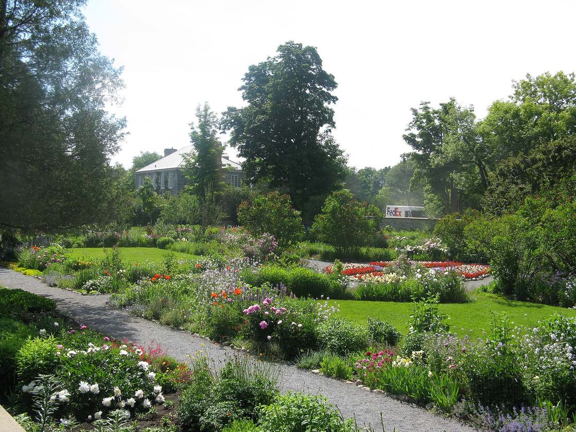
- History: a police village from 1903 until Ottawa annexed it in 1949. Richmond Road was once the Macadam Road to Bells Corners, and Maplelawn Garden includes one of Ottawa's oldest buildings (1831), a National Historic Site.
- City ward: Kitchissippi (Ward 15), which also includes Hintonburg, Wellington West and other inner west neighbourhoods.
Housing
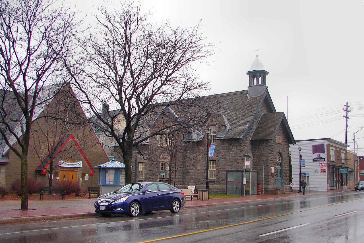
- Most houses in Westboro were built between 1900 and 1960.
- Across Kitchissippi Ward (2021 Census), 42.4% of homes were built in 1960 or earlier. 30.2% were single-detached houses, 9.7% semi-detached and 31.5% apartments in buildings of five or more storeys. 51.3% of households owned their home.
Frequently asked questions
What schools serve Westboro?
Schools in and around Westboro include Nepean High School (OCDSB) at 574 Broadview Avenue, Notre Dame High School (OCSB, grades 7 to 12) at 710 Broadview Avenue, Broadview Public School (OCDSB) at 535 Dovercourt Avenue and Churchill Alternative School (OCDSB) at 345 Ravenhill Avenue. French-language schools serve wider areas. Confirm your address with each board's school locator.
Who lives in Westboro?
Westboro had 22,725 residents in the 2016 Census, under its common definition. Kitchissippi Ward, which includes Westboro, had about 37,800 residents in the 2021 Census. The median age was 40.4 and the average household had 2.0 people. 40.6% of households were one person living alone and 20.0% were couples with children, and 51.3% of households owned their home. The median total household income in 2020 was $101,000.
What shops and amenities are in Westboro?
Richmond Road is Westboro's commercial heart, with boutiques, restaurants, coffee shops and outdoor and sports stores such as Mountain Equipment Co-op and Lululemon. The neighbourhood is close to the Ottawa River, Westboro Beach and riverside cycling trails, and the Fuse Street Festival takes over Richmond Road for a weekend in August.
How do you get around from Westboro?
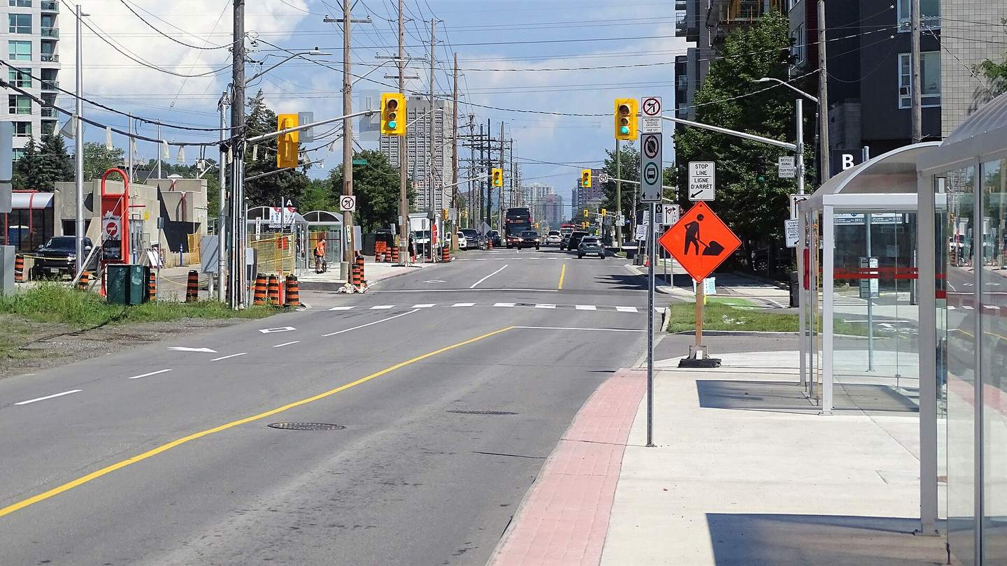
Westboro and Dominion stations serve the area, and routes 11 and 16 run along Richmond Road. The O-Train Line 1 west extension will serve Westboro Station. It was expected to open in summer 2027, but the Ottawa Citizen reported in July 2026 that flood damage from the Canada Day storm put that opening in doubt, with an updated schedule expected in early 2027. In the 2021 Census, 79.1% of Kitchissippi commuters got to work in under 30 minutes, 14.7% took transit and 20.6% walked or cycled. That census week was in May 2021, during the pandemic.
How old are the homes in Westboro?
Most houses in Westboro were built between 1900 and 1960, and many cottage-style homes remain north of Scott Street near the river. Across Kitchissippi Ward in the 2021 Census, 42.4% of homes were built in 1960 or earlier, while 25.6% were built in 2001 or later, much of it condominium and infill.
Is there new development in Westboro?
Yes. Several condominium projects are adding density, and the O-Train Line 1 west extension will add rapid transit at Westboro Station. You can check active applications near any street with the City of Ottawa's development applications search.
What is the rental market like near Westboro?
In CMHC's October 2025 Rental Market Survey, the Westboro South, Hampton Park and Britannia zone had a 1.3% vacancy rate and an average rent of $1,522, and the Chinatown, Hintonburg and Westboro North zone had a 3.3% vacancy rate and an average rent of $1,792. These figures cover purpose-built rental apartments, not condos or houses.
Census figures are for the City of Ottawa ward named, using the City's 2021 Census ward data (current ward boundaries), so they cover a wider area than the neighbourhood itself. Census ward used: Kitchissippi Ward (Ward 15). Commute shares come from the 2021 Census, which asked about the week of May 2021, during the pandemic; they cover people who commuted to a usual place of work, not drive times.
Nearby neighbourhoods
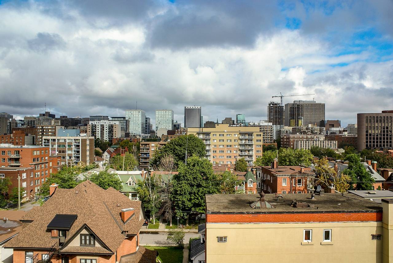 Next to downtownCentretownCondos, rentals and office-to-residential conversions, right next to the downtown core.Explore Centretown →
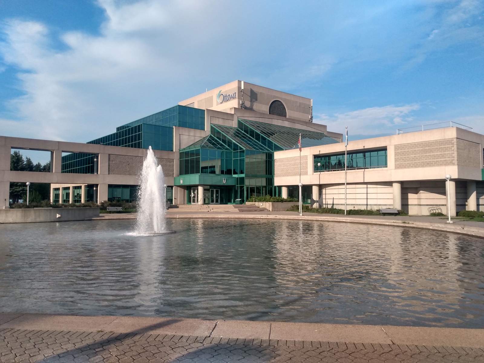 Centrepointe and the old City of NepeanNepean and CentrepointeEstablished 1960s to 1980s neighbourhoods, Centrepointe's Ben Franklin Place and Algonquin College.Explore Nepean →
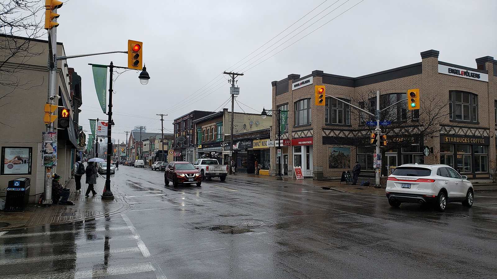 Neighbourhood storyThe GlebeA walk down Bank Street's local shops and food, plus Lansdowne, century-old homes and heritage rules.Read the Glebe story →
See all Ottawa neighbourhoods on the map →
Thinking about Westboro?
Call or text Kevin at 613-291-0789 or email kevin.lai@exprealty.com. Kevin Lai, REALTOR®, eXp Realty Brokerage. Meetings by appointment.
Call 613-291-0789Email KevinBook a callSources
- Wikipedia: Westboro, Ottawa (history, housing, shops, transit)
- Wikipedia: Nepean High School (Ottawa)
- Wikipedia: Notre Dame High School (Ottawa)
- OCSB: Our schools (Notre Dame, grades 7 to 12)
- Churchill Alternative School: Contact
- City of Ottawa: O-Train Stage 2 East and West extensions update
- Ottawa Citizen: Flood damage raises questions about Ottawa's west O-Train timeline (July 2026)
- CMHC: Ottawa rental market summary by zone (October 2025)
- City of Ottawa Open Data: 2021 Short Form Census, ward data
- City of Ottawa Open Data: 2021 Long Form Census, ward data
- City of Ottawa development applications search
- OCDSB school locator
- Ottawa Catholic School Board schools
- CEPEO (French public)
- CECCE (French Catholic)
- Last updated: October 29, 2026
